
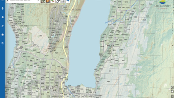
Lake Country GIS Map
Use our interactive and comprehensive mapping system that contains public information you need about your property and our community.
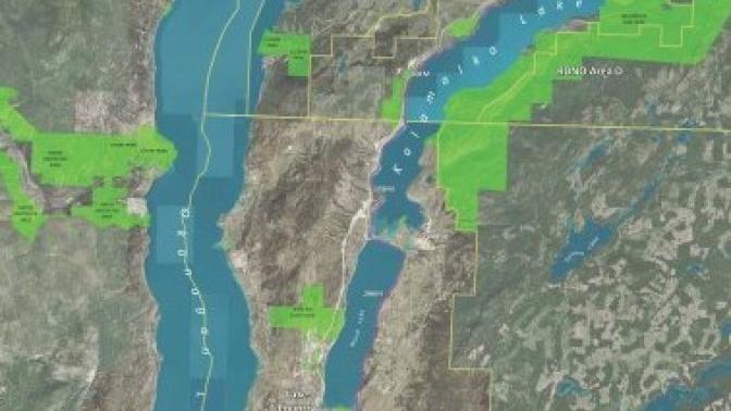
Geographic Information Systems (GIS) Open Data Portal
The District of Lake Country's Open Data Portal allows you to download GIS data. Datasets such as utility data, parcel boundaries, Orthoimagery and more available for download.
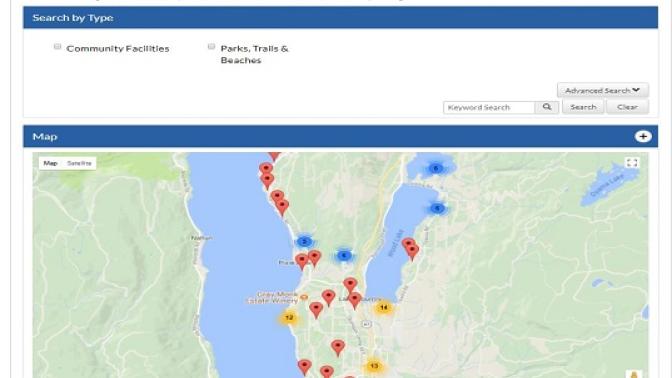
Park & Facility Finder
Search and learn about parks and facilities in Lake Country.
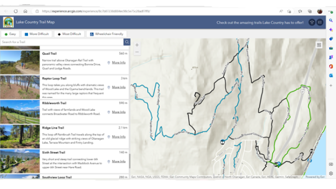
Interactive Trail Map
The Walk Around Lake Country (WALC) Map show regional hiking and walking trails in the area.
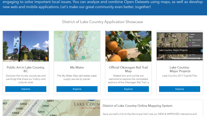
Interactive Okanagan Rail Trail Map
Check out the Okanagan Rail Trail while you hike or cycle along this scenic active transportation pathway.
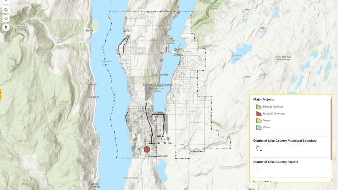
District Projects
Get informed on all the District capital projects taking place in the community
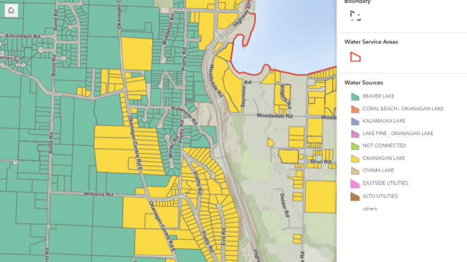
Water Source Map
Check the water source map to confirm which source your property is on. Click on your property to view the dialogue box which will tell you the water source and link to any Advisory of Notice information if available.
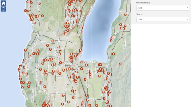
Building Permit Map
View the map to see the basic information on the current building permits currently in progress in Lake Country.
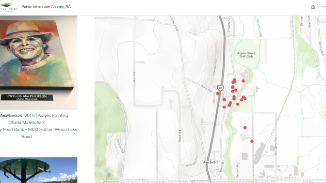
Lake Country Art
View the online map to explore public art in Lake Country and get an overview of the installations in parks, facilities and public spaces.

Scenic Sip Wine Trail
View the location of Lake Country wineries
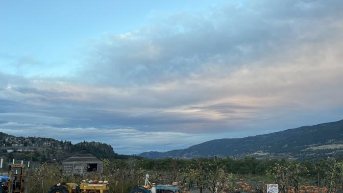
Farm Gate Trail
Watch for Farm Gate Trail signs throughout Lake Country for local products
Other Maps
Neighbourhood Constituency Map
Find out if you are located in the Carr's Landing, Okanagan Centre, Oyama or Winfield Ward of Lake Country.
Lake Country Street Map
Looking to find your way around Lake Country? Try this comprehensive street map.
Partners in Parks Program Map
Remember or honour an individual through the donation of a bench, picnic table or other amenity placed in a District park.