
Getting around Lake Country in safe and enjoyable ways.
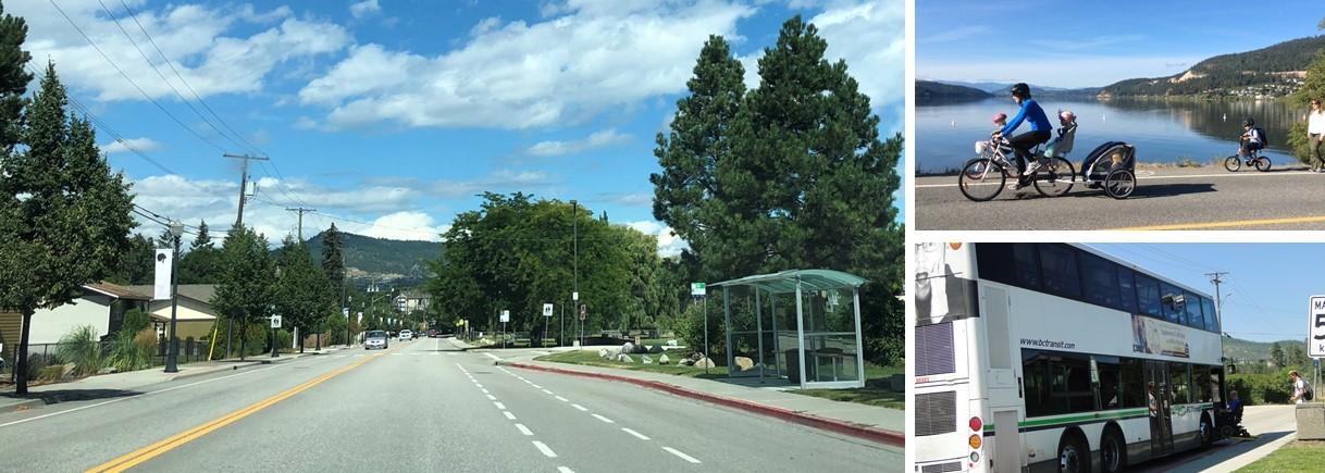
This is the overarching vision for Lake Country mobility network. Lake Country's mobility network includes over 210 lineal kilometres of roadway combined with extensive pedestrian, cycling and transit infrastructure. The network is essential for connecting the community and is supported by signage, streetlights, landscaping, street furniture and drainage infrastructure.
Mobility Master Plan
Adopted by Council in February 2021, the Mobility Master Plan [PDF/3.7MB] is used to guide the policies, actions, and priorities to consistently improve upon mobility in the District of Lake Country.
The Mobility Master Plan builds upon past District initiatives to improve travel in the community including:
- Official Community Plan (OCP) [PDF/526KB]: This guiding document established goals and objectives for the transportation network. It further provides prioritization of transportation modes.
- Integrated Asset Management Plan [PDF/1.7MB]: Established in 2010, the plan provides a high-level 20-year forecast of the expenditures required for all capital infrastructure to maintain adequate and sustainable levels of service, condition and risk.
The plan provides 12 recommendations:
- Continue development and discussions in District on the mobility paradigm shift with Council, staff, and community beginning with engagement on the Mobility Master Plan and what it means for the community.
- Establish champions from Council, staff, and the community to carry the Mobility Master Plan forward.
- Investigate methods to improve transit to meet the 10% ridership target in Lake Country.
- Update Official Community Plan to reflect mobility paradigm shift and update and incorporate changes to modal network maps.
- Update Road Condition Assessment
- Revise the Mobility Capital and Operational Programs including financial strategy to ensure existing mobility plans are adequately funded and financially sustainable
- Amend Zoning Bylaw to:
- Support pedestrian oriented commercial buildings and parking lot design.
- Increase requirements for bike parking and end-of-trip facilities.
- Include requirements for electric vehicle charging stations.
- Amend Subdivision and Development Servicing Bylaw to:
- Update street and road design requirements and cross-sections.
- Update pedestrian pathway requirements.
- Provide requirements to support transit improvements with pedestrian pathway connections, bus landings, and other supporting transit amenities.
- Include trail design standards.
- Prioritize multi-modal street projects in the core area including Woodsdale Road, Main Street Bike Lanes, Bottom Wood Lake Road connection to Okanagan Rail Trail, and the downtown mobility hub.
- Create pedestrian and cycling connections between neighbourhoods, schools, recreation centres, trail heads, transit stops, and commercial centres by:
- Improve Highway 97 crossings at Berry Road, Woodsdale Road / Oceola Road, and Glenmore Road / Beaver Lake Road.
- Connect facilities to and along Okanagan Centre Road E, Berry Road, Tyndall Road, and Camp Road.
- Expand the pedestrian network 50km by 2030.
- Expand the bike network 50km by 2030.
- Provide recreational trail improvements though:
- Development and implementation of a trail wayfinding signage program.
- Completion of a feasibility study for a major multi-use connection along the south end of Wood Lake waterfront between the Okanagan Rail Trail and the Pelmewash Parkway.
- Design and construction of Vernon Creek Trail sections from Bottom Wood Lake Road south to Nexus Recreation Centre and north to Lodge Road with School District No. 23.
- Consider all ages & abilities when planning, designing and implementing
Mobility Improvement Program
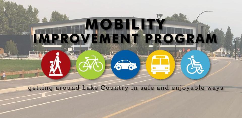
Building upon these past initiatives, the Mobility Improvement Program [PDF/5.4MB], adopted in September 2022, provides an updated program in line with the goals and objectives of the Mobility Master Plan. Roads are classified by condition and function and the program recommends improvement and renewal projects for Lake Country's road network with a five, 10 and 20-year time frame.
An estimated $69.6 million in capital funds are required to meet the program's recommendations.
View Lake Country's road inventory and classification [PDF/3.9MB].